Clean surfaces
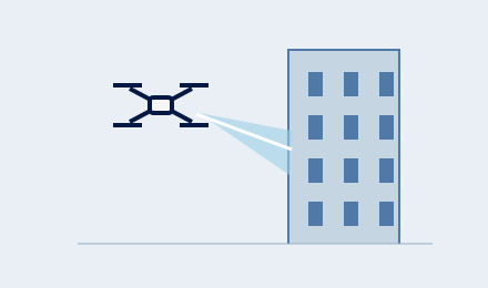
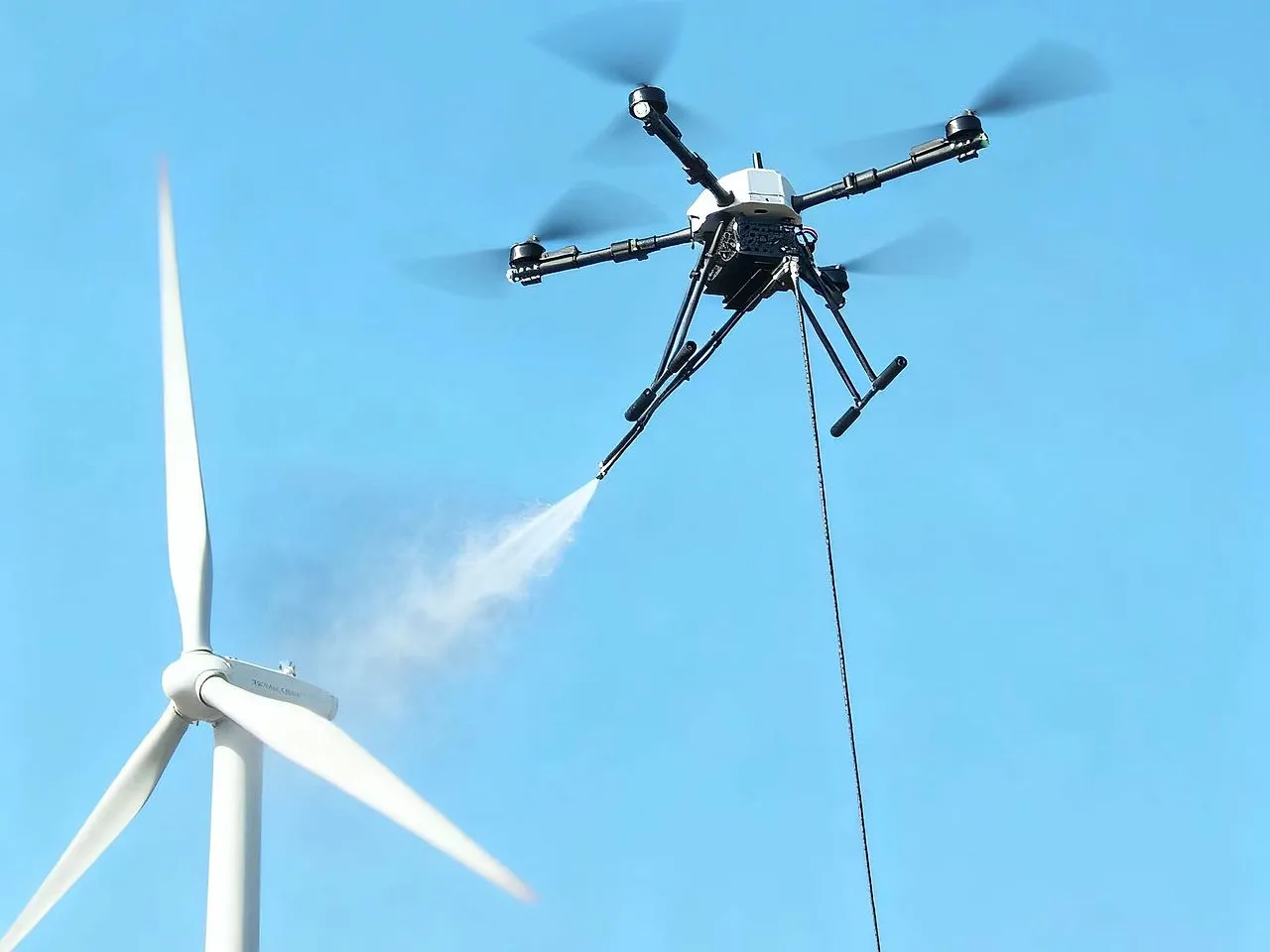
A spray-equipped drone washes façades, solar panels and wind turbines with a setup suited to each surface.
A higher standard for work at height. Drone-powered cleaning, inspection and filming, planned around your project.
Different challenges. Purpose-built aerial systems. Explore how we turn difficult access into practical outcomes.
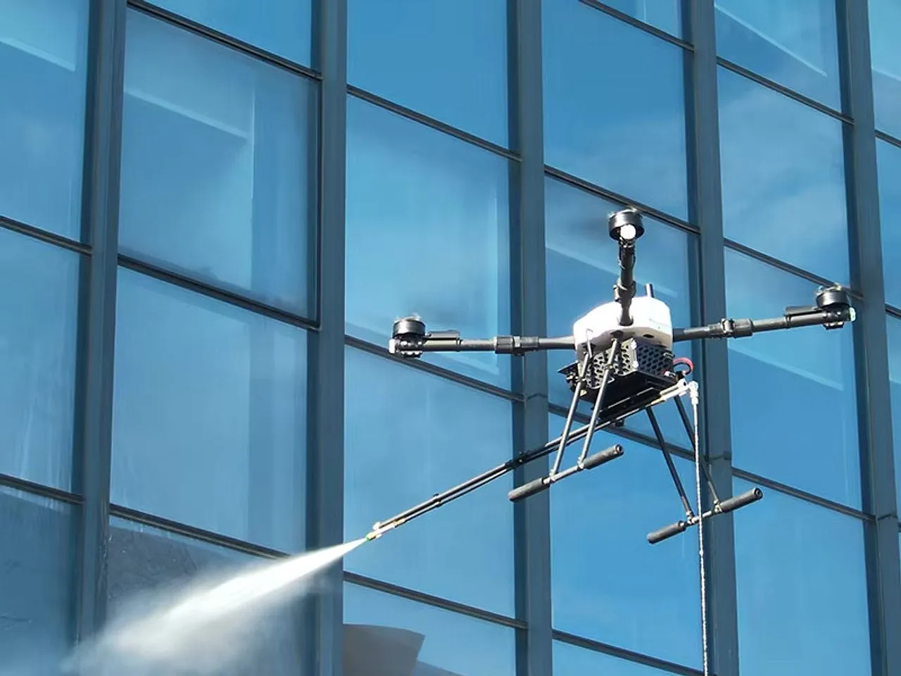
We clean the glass, curtain walls, and cladding of high-rise buildings from the air, reaching every floor without scaffolding, ropes, or crews working at height. The result is a clean, streak-free facade with far less disruption to the building and the people inside it.
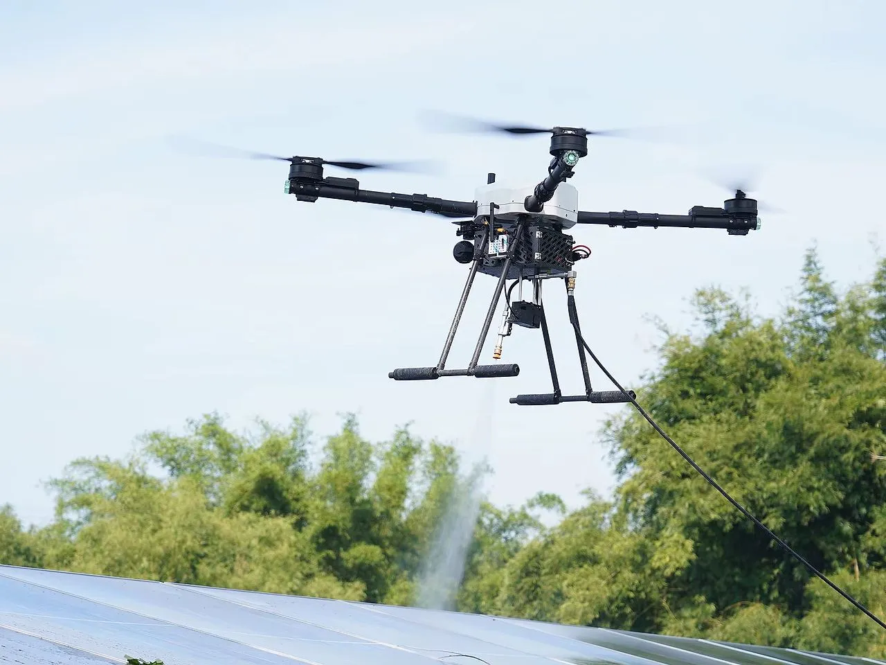
Dust and grime quietly reduce how much power your panels produce. We wash them evenly and gently from the air, with no one walking across the array - protecting the panels while helping them return to their expected output. It works just as well for a single rooftop as for a large solar field.
Buildup on turbine blades slowly costs you efficiency. We clean them from the air, without cranes, rope-access teams, or long shutdowns, so your turbines can return to full performance with minimal interruption to operations.
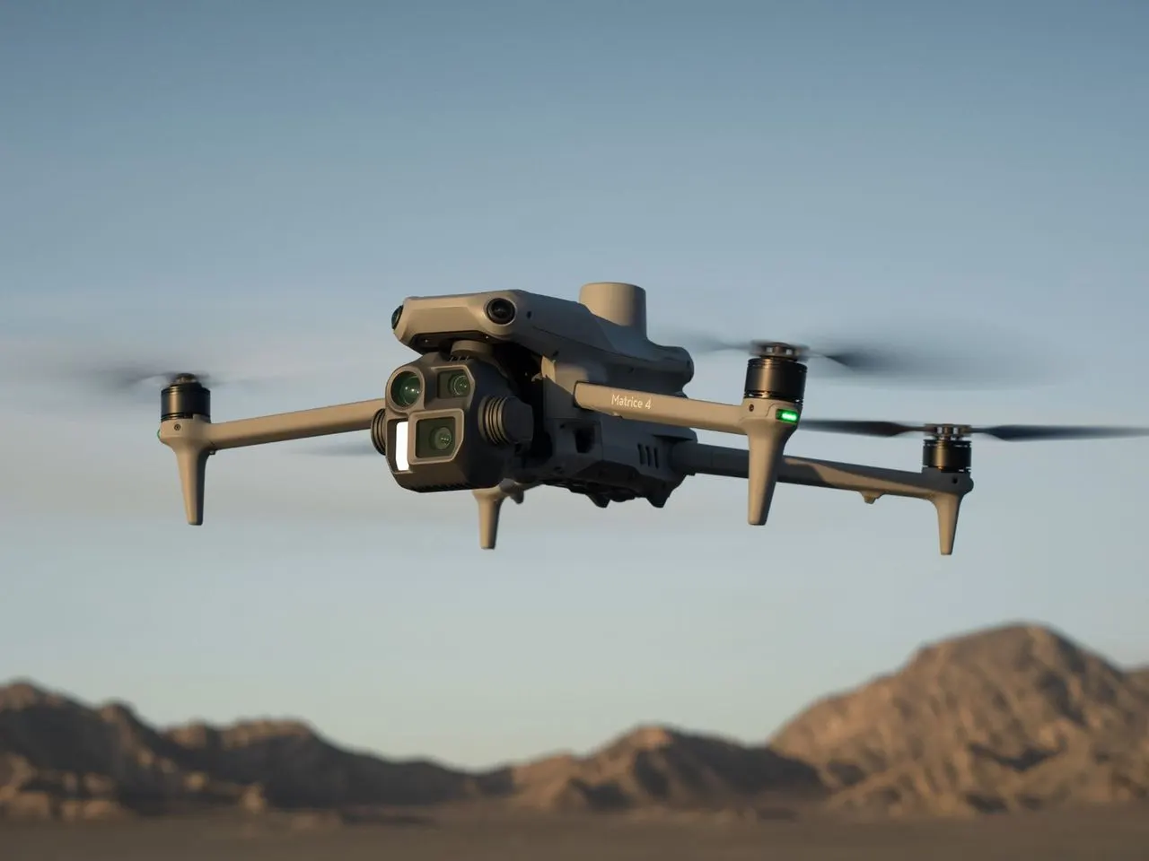
We inspect and photograph buildings, construction sites, and infrastructure from the air in high resolution, reaching angles that are difficult or unsafe to inspect on foot. You get clear imagery you can share, archive, and use to make decisions.
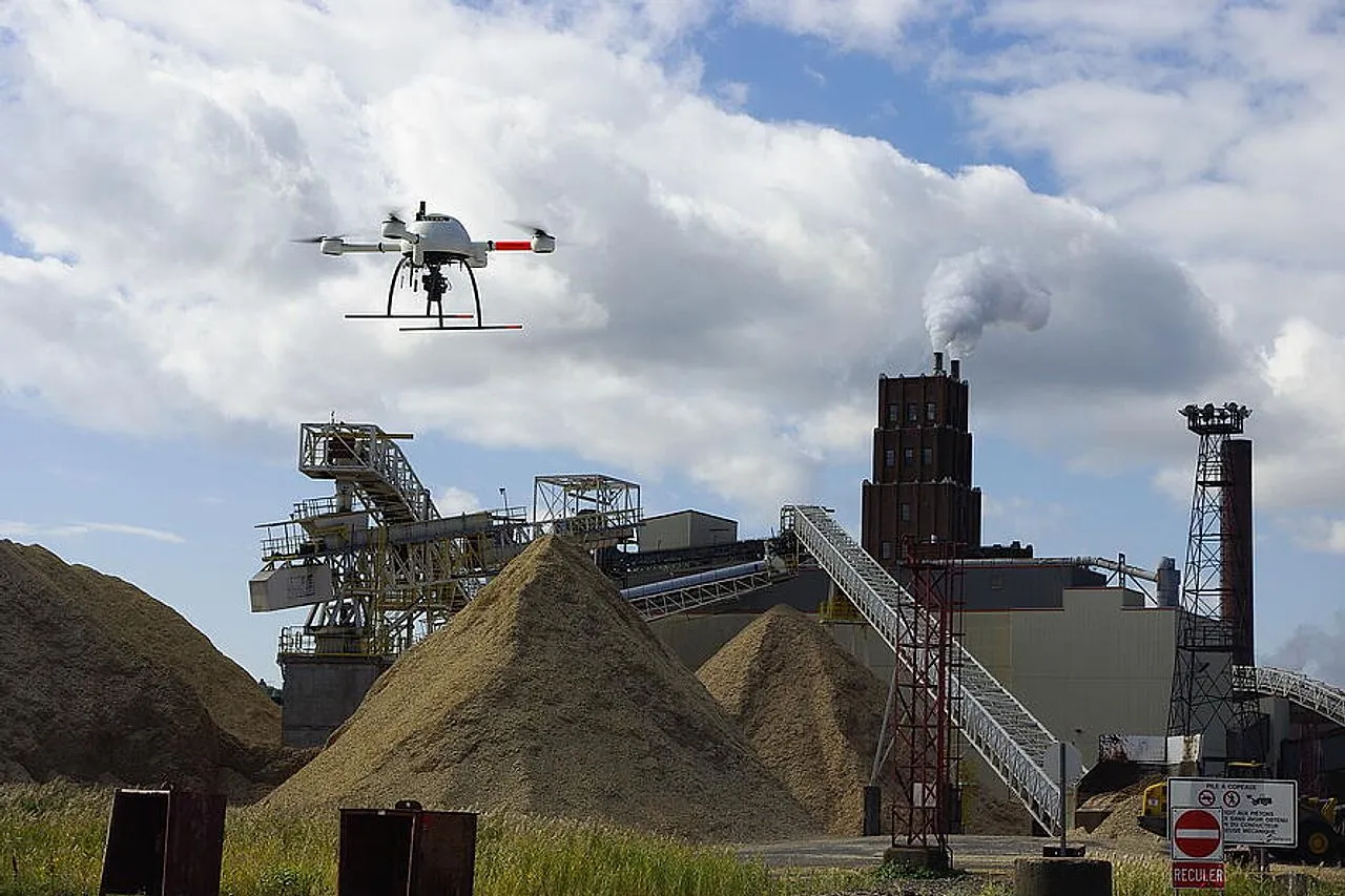
From aerial imagery we build a precise 3D model of your stockpiles and calculate their volume - for gravel, sand, aggregate, and other bulk materials. It is faster and safer than surveying on the ground, and gives you reliable figures for inventory, reporting, and planning.
We plan and shoot cinematic aerial video for marketing campaigns, real estate, events, and brand films. From the first shot to the final edit, you get smooth, polished footage that tells your story from above and is ready to publish.
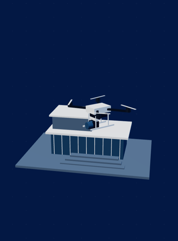
Each task needs a different aerial setup. We match the equipment and flight plan to the surface, the site and the result you need.
A spray-equipped drone washes façades, solar panels and wind turbines with a setup suited to each surface.
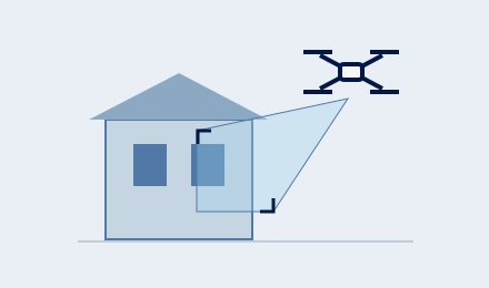
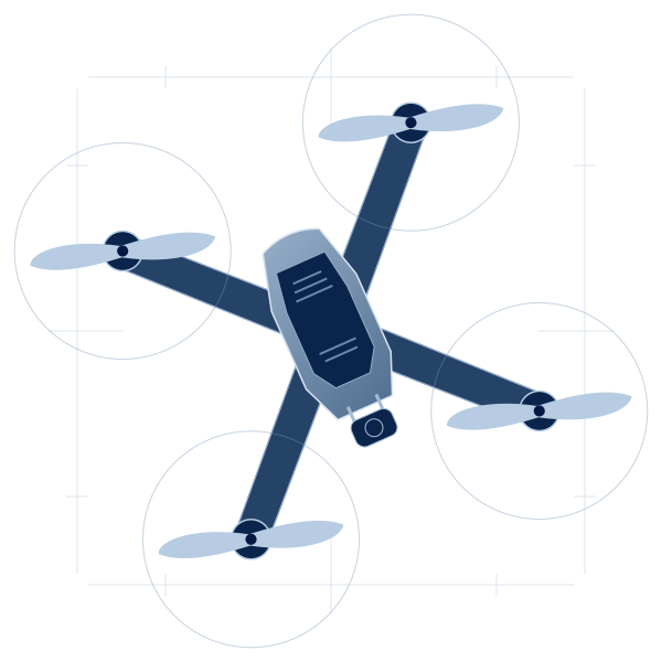
A camera drone captures close-up inspection views, site photography and planned cinematic footage.
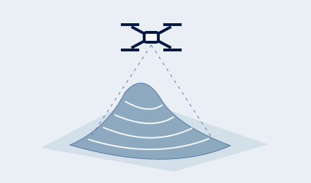
Overlapping aerial images build a surface model for stockpile volume calculations.
A straightforward four-step process designed around your site, your schedule, and the deliverables you need.
Our team visits your site and assesses the scope, access, and the ideal approach.
We design a project plan with timeline, flight strategy, and deliverables aligned to your goals.
CARC-certified operators deliver the work on schedule, with full safety protocols.
Spotless surfaces, sharp imagery, before-and-after documentation - whatever your project needs.
A clear view. A measurable surface. A story ready to share. The deliverable is what makes each mission useful.
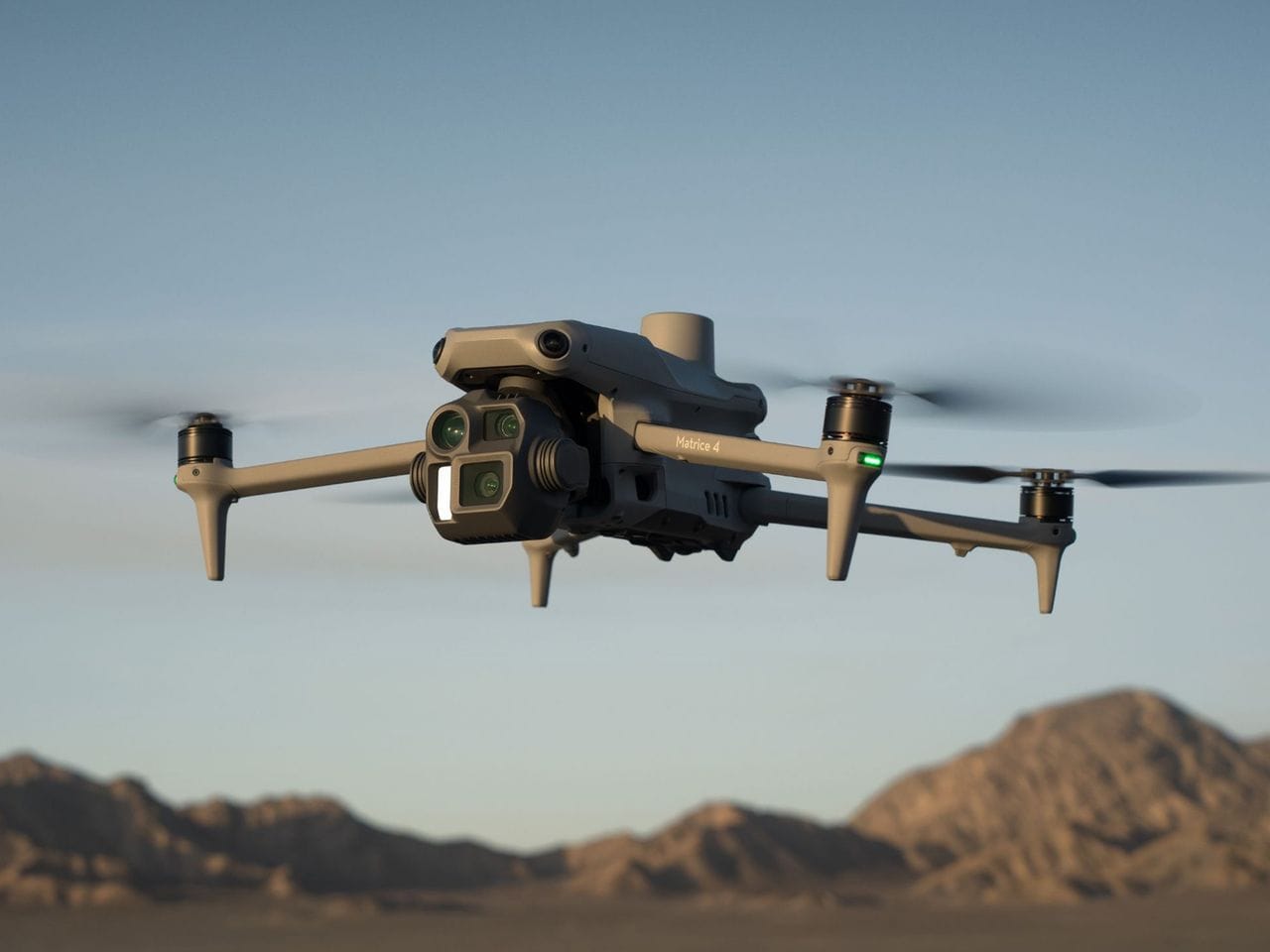
Aerial imagery & site documentation
High-resolution views of areas that are difficult to inspect from the ground.
Stockpile surface models and volume calculations for inventory and planning.
Planned, captured and edited footage for your next campaign or project story.
From the first site assessment to the final handover, we bring planning, care and accountability to every mission.
Meet Falak